USD$ 8,595 – USD$ 14,990
Date: 18 August – 1 September 2022 (15 days/14 nights) Optional extension 1 – 8 September (8 days/7 nights)
Group Size: Minimum of 4, maximum of 10 people
Namibia is a visual feast for photographers with endless desert landscapes, wild seascapes, amazing wildlife, colonial cities and remote nomadic people. For photographers, it is unlike anywhere else in Africa, and this photographic tour has been put together to make the very most of many of the great photographic opportunities on offer.
Please Note: the online booking system is not yet functional, please contact us directly for further details.
Description
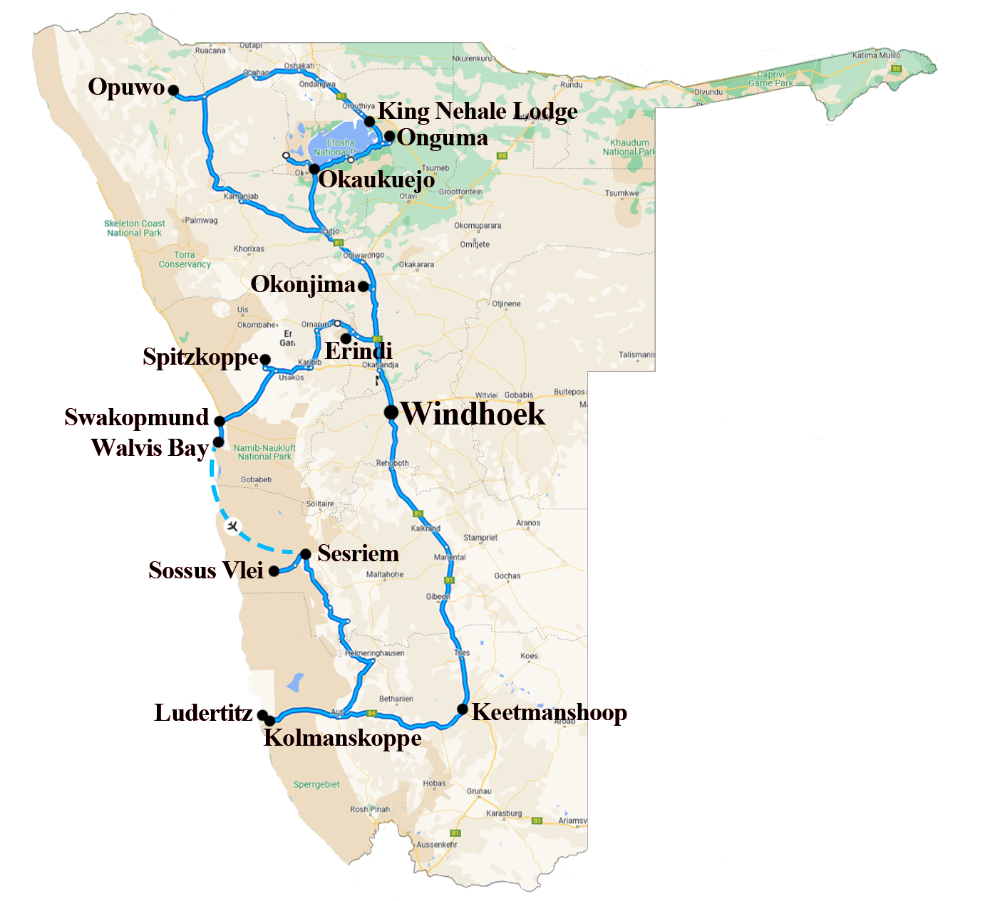
Day 1: ARRIVE WINDHOEK (L/D)
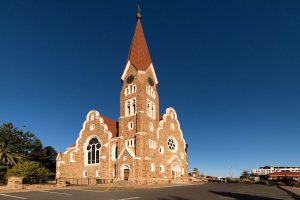
After clearing Customs & Immigration we will be transferred to the city for our overnight stay. Late this afternoon we have the option of a walk around the city centre, which is a mix of old German colonial buildings and modern architecture.
Day 2: WINDHOEK – ERINDI (B/L/D)
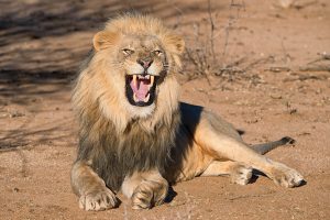
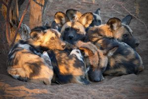
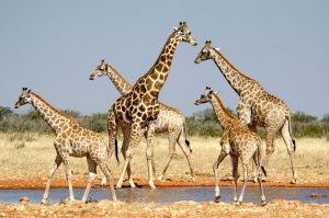
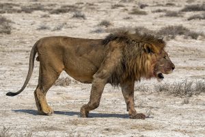
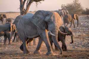
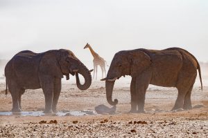
After breakfast we commence our journey to Erindi, arriving in time for lunch. Erindi Private Game Reserve is home to some 12,000 animals, including lions, cheetahs, elephants, white and black rhinos, wild dogs and if we are lucky, the more elusive leopard.
After lunch you are free to relax on the viewing deck before going on an afternoon game-viewing drive.
Day 3: ERINDI (B/L/D)
This morning and this afternoon we will be undertaking game-viewing excursions in the Erindi Reserve. There are also a number of other guided tours you may wish to consider; however these will be at an additional cost.
During the middle of the day, why not relax on the viewing deck and watch the wildlife come into the waterhole to drink.
Day 4: ERINDI RESERVE – SPITZKOPPE (B/L/D)
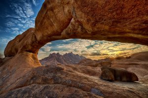
This morning we have an opportunity to undertake one last game drive before commencing a leisurely drive south-west to Spitzkoppe, a group of bald granite peaks or bornhardts majestically rising out of the Namib Desert.
Mid to late afternoon we take some time to explore the beautiful rock formations, as well as select suitable locations to watch and photograph the sunset.
Day 5: SPITZKOPPE – SWAKOPMUND (B/L/D)
This morning we rise early for a sunrise shoot at Spitzkoppe as the first rays of sunlight hit the granite peaks. After breakfast we make our way to the coastal town of Henties Bay where we enjoy lunch before heading north to Cape Cross Seal Colony, one of the largest colonies of Cape fur seals in the world.
After our visit with the seals, we travel south to Swakopmund, stopping briefly to visit Zeila Shipwreck and the colourful town of Wlotskabaken.
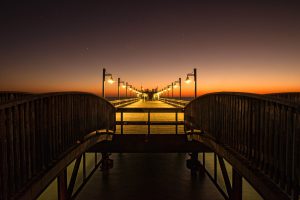
Swakopmund was of major importance as a harbour during the German colonial era, even though the water at the coast is actually too shallow and the bay is unprotected. Luderitz was too far away and the seaport of Walvis Bay was in British possession in those days. In August 1892, the gunship “Hyäne” under the command of Captain Curt von François, staked out a wharf north of the Swakop River mouth. A year later, 40 settlers from Germany and 120 members of the Schutztruppe were taken ashore on landing boats to embark upon an adventurous undertaking. The 325-metre-long wooden jetty was only completed in 1905 and it was later replaced by a more solid iron construction. Swakopmund became the gate to South-West Africa and the entire supply for the colony went through this little town. The appearance of the town, with its 30,000 inhabitants, is characterised by numerous colonial buildings with the Woermann House from 1905 as its landmark. Late afternoon light will provide a great backdrop for some shooting around the jetty area.
Day 6: SWAKOPMUND (B/L/D)
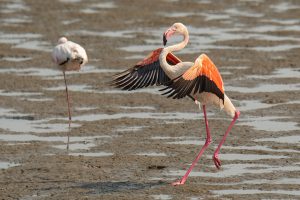
This morning we head south to Walvis Bay where we enjoy a relaxing boat cruise, providing us an opportunity to see and photograph some of the local wildlife, such as pelicans, Cape Fur Seals, Dolphins and the local water birds including Flamingos.
After lunch we head south on a Sandwich Harbour 4×4 excursion, exploring the amazing sand dunes of the Namib desert where they meet the Atlantic Ocean. This journey will offer spectacular landscape scenery, some of the incredible wildlife that live in the region, and no doubt some adventure. Our day will end with sparkling wine, cool drinks and world-famous oysters from the region.
Day 7: SWAKOPMUND – SOSSUSVLEI (B/L/D)
This morning we depart Swakopmund early and return to Walvis Bay to photograph the beautiful Flamingos in the early morning light before the wind picks up. Afterwards we commence our journey south-east through vast desert areas to the spectacular dunes of the Sossusvlei. On the way we witness a very different type of desert as we pass through the Namib-Naukluft National Park, which provides stunning vistas with huge mountain massifs and gravel plains. This five hour journey will again be interspersed with numerous photo stops.
For the next three nights we will be staying at a lodge situated within the park, providing guests the benefit of being able to reach Sossusvlei and Dead Vlei before sunrise, and stay out until after sunset.
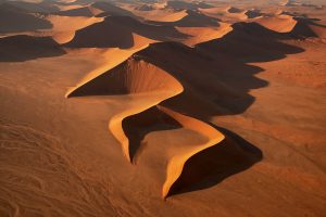
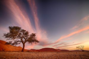
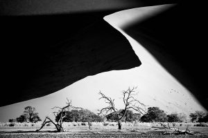
The Sossusvlei, Namibia’s famous highlight in the heart of the Namib Desert, is a huge clay pan, enclosed by giant sand dunes. Some of the spectacular hills of sand are at a height of 300 metres, the highest in the world. Only after a heavy rainfall, which is a rare event in this area, does the vlei fill with water. As the clay layers hardly allow any water infiltration, a turquoise lake will remain for quite some time. The dunes of the Namib desert have developed over a period of many millions of years. It is thought that the vast quantities of sand were deposited into the Atlantic Ocean by the Orange River. This material was subsequently moved northwards by the Benguela current to be dumped back onto the land by the surf. The coastal dunes developed as a result of this and were shifted further and further inland by the wind. Wind continuously reshapes the patterns of the huge dunes of the Namib desert. It timelessly forces the grains of sand on the flat windward slope upwards to the crest of the dune. Here they fall down in the wind shade. The leeward slope is therefore always considerably steeper than the windward side.
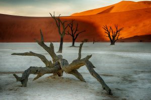
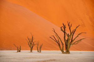
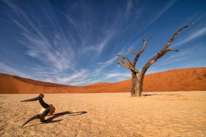
This afternoon we enjoy a one hour drive into the Sossusvlei, stopping at the end of the road where we continue by foot into the Dead Vlei, one of the most famous locations for photography in Namibia. This clay pan was formed after rainfall, when the Tsauchab river flooded, creating temporary shallow pools where the abundance of water allowed camel thorn trees to grow. When the climate changed, drought hit the area and sand dunes encroached on the pan, which blocked the river and subsequently killed the trees. The remaining skeletons of the trees, which are believed to be about 900 years old, are now black because the intense sun has scorched them. The wood does not decompose because it is so dry.
Our walk is around 1.5kms (each way) through pebbly and sandy dunes, and we will arrive just as the majority if not all of the tourists have departed for their hour drive back to the gate before it closes at sunset. We have sufficient time to explore and photograph the area, commencing our walk back to the vehicle after sunset.
Day 8: SOSSUSVLEI (B/L/D)This morning some of our photographers will be scheduled for an optional helicopter flight over the dunes of the Sussusvlei and the Dead Vlei. The remaining photographers will travel by car back through the park, photographing the sand dunes from the side of the road as shadows form in the early morning light.
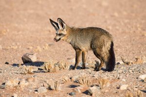
In the afternoon we venture into the park again, stopping at various locations to explore the sand dunes closer. With the light coming from the opposite direction now, we will also have more stops along the road to photograph the constantly changing shadows on the dunes. We always need to keep our eyes open for wildlife, as Gemsbok, Ostriches and Bat-eared foxes can be seen.
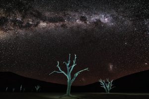
After dinner we will head outside with our cameras to learn about astrophotography, in preparation for our upcoming stay at Keetmanshoop.
Day 9: SOSSUSVLEI (B/L/D)
This morning some of our photographers will be scheduled for an optional helicopter flight over the dunes of the Sussusvlei and the Dead Vlei. The remaining photographers will travel by car back through the park, photographing the sand dunes from the side of the road as shadows form in the early morning light.
Late morning, we have the option to visit Sesriem Canyon, located not too far from the Lodge. Sesriem Canyon is one kilometre long and up to 30 meters deep and was formed by the rare flow of water down the Tsauchab River over the past two million years. The name Sesriem is Afrikaans and means “six belts”, since the early settlers had to attach together six belts (made of oryx hides), in order to reach buckets down into the canyon to scoop up water. The Sesriem Canyon is only two meters wide in some places, and has a portion that permanently contains water, which many animals use. Past the canyon, the Tsauchab flattens and grows broader, and is surrounded by a riparian forest as it slopes towards the Sossusvlei salt pan.
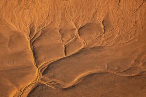
In the afternoon we have one final trip back down the valley, where we can explore the dunes and contrast of the late light further. We can seek out some beautiful sand ripples to photograph, or if feeling energetic we can climb up one of the sand dunes to watch the sunset or even return to the Dead Vlei..
Day 10: SOSSUSVLEI – LUDERITZ (B/L/D)If required, a final group of photographers may be scheduled for the optional helicopter flight. After breakfast we depart the Sossusvlei and travel through amazing landscape on our way south-west to Luderitz. The distance is approximate 470km’s, but the majority of it is on gravel roads so it will take over 6 hours. Numerous stops will be made on the way for photos and rest breaks, and we will take a picnic lunch.
Luderitz was established in 1883 as a remote German outpost and the area is surrounded by diamond mine areas (restricted zones). The town has numerous historic buildings and a unique character, so lots of photo opportunities. We will arrive late afternoon in time for photographing the sunset over the Atlantic Ocean.
Day 11: LUDERITZ – KOLMANSKOP – LUDERITZ (B/L/D)
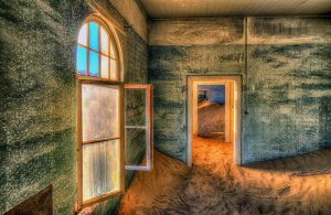
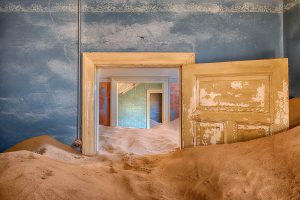
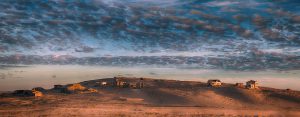
Today is a special day as we have permits for the whole day for the abandoned mining town of Kolmanskop. Once having been home to 700 families, the buildings have stood the test of time (in an area where rain hardly falls), but the winds and sands of the Namib Desert have slowly encroached upon each dwelling and have created amazing results.
We can enter the area at sunrise and leave at sunset. You also have the opportunity to undertake the 9.30am guided tour which will help with familiarisation. After lunch at the café within the abandoned town, we continue exploring and photographing the buildings. The public is only permitted into the area during the morning, so our special all-day permits will ensure us better photographic opportunities. If you want to practice natural-looking HDR, this is the place to give it a go.
Day 12: LUDERITZ – KEETMANSHOOP (B/L/D)
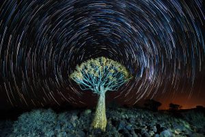
This morning we will explore and photograph the town of Luderitz before commencing our four-hour drive east to Keetmanshoop. For the next two nights we stay at Quivertree Restcamp which is conveniently located to an amazing Quiver tree (Aloe dichotoma) forest, as well as the Giant’s Playground.
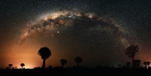
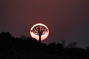
Late afternoon we will photograph sunset amongst the Quiver trees and then return again later in the night to do astrophotography.
Day 13: KEETMANSHOOP (B/L/D)This morning we rise early for sunrise at the Quiver tree forest. After a late night doing astrophotography, followed by an early morning, you will have some time to relax or explore the farm at leisure.
Late morning we head into the township of Keetmanshoop for lunch. There will some time in the afternoon to relax and/or discuss astrophotography in preparation for our second night of shooting. For those who bring their laptops, we can also go through post processing and review the images we took the night before.
In the afternoon we enjoy another sunset shoot at the Quiver tree forest, and after dinner will travel a short distance for another night of astrophotography.
Day 14: KEETMANSHOOP – WINDHOEK (B/L/D)
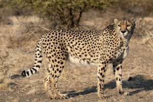
On our final morning at the farm, we enjoy another sunrise shoot whilst exploring different compositions with the Quivertrees. After breakfast we have a special photography shoot with the resident cheetahs before departing for Windhoek. For anyone departing late afternoon or in the evening, you may be able to depart, however it’s more than likely that you will need to stay the final night.
Day 15: WINDHOEK (B)
For those choosing to only do the main trip, your tour concludes today.
OPTIONAL EXTENSION TOUR
Day 15: WINDHOEK – OPUWO (B/L/D)
We have a long drive north today, so will be departing early as early as possible. Our drive is on good bitumen roads, so it will be easy if not a long day of travel. On arrival in Opuwo we check into our hotel. If time allows, we will return to the centre of town to photograph the activities of the local Himba, Dhimba and Herero people.
Day 16-17: OPUWO (B/L/D)
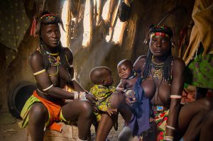
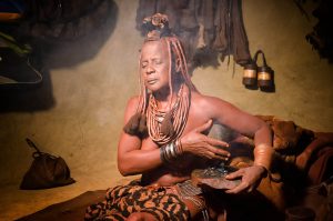
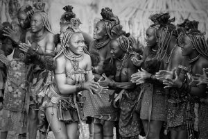
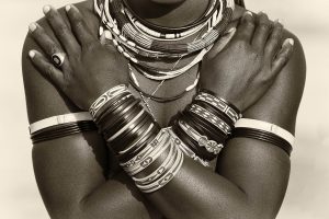
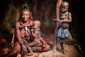
With the assistance of a local guide, we will be visiting Himba, Zemba and Herero villages over the course of two days. The Himba are semi-nomadic and unlike many indigenous groups in Africa, have managed to maintain much of their traditional lifestyle. Himba women have a particularly distinctive appearance. Each morning, they cover themselves with a mixture of butter fat, red ochre and local herbs that gives their body the smooth, reddish appearance as well as offering some sun protection. Married women wear a small headpiece made of soft skin on top of their braided and ochred hair. In addition, they often wear a heavy ornament around their necks that includes a conch shell that hangs between their breasts in the front and a metal-studded leather plate that hangs down the centre of their back. They also wear heavy metal rings around their ankles as well as other jewellery made of copper, ostrich shells or woven reeds.
Zemba, also known as Dhimba are found in Namibia and Angola. Their global population is approximately 14,000, with 5,700 living in Namibia. Like the Himba, they are also semi-nomadic. The Herero are proud cattle farmers who measure their wealth in cattle, the importance of cattle to these people is even evident in the dresses the women wear. The traditional dress is derived from a Victorian woman’s dress and consists of an enormous crinoline worn over a several petticoats, and a horn shaped hat (said to represent cow horns). Like the Himba they also have a holy, ritual fire which symbolises life, fertility and prosperity. When visiting a village or a compound, it’s important to walk around the holy fire, even if it’s not burning.
Day 18: OPUWO – ETOSHA (B/L/D)
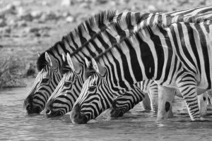
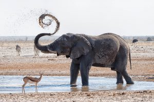
This morning we will depart fairly early for Etosha National Park (approximately 2 hours south). Etosha National Park is one of Southern Africa’s finest and most important Game Reserves. Etosha Game park was declared a National Park in 1907 and covering an area of 22 270 square km, it is home to 114 mammal species, 340 bird species, 110 reptile species and 16 amphibian species. Etosha, meaning “Great White Place”, is dominated by a massive mineral pan. The pan is part of the Kalahari Basin, the floor of which was formed around 1000-million-years-ago. The Etosha Pan covers around 25% of the National Park. The Pan only contains water after good rains and is normally a dry, white expanse.
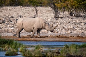
The Park has five Rest-camps where visitors can stay. Four of them are found in the eastern area of the Park, while one is located in the Restricted Western Zone. During your stay we will visit both zones. You will enter the Restricted Zone by the western “Galton Gate” and you will be staying at Dolomite Camp – only visitors who are staying overnight at this camp may tour the western zone. Nestled in the dolomite outcrops of this vast area of western Etosha National Park, Dolomite Camp offers its clients an intimate experience of one of the most scenic areas of the Park, an area where previously endangered species like the Black Rhinoceros and Black-Faced Impala have been successfully bred. This afternoon and for the first part of tomorrow, you will have the opportunity to explore the many waterholes that surround the Dolomite area.
Day 19: ETOSHA (B/L/D)
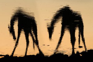
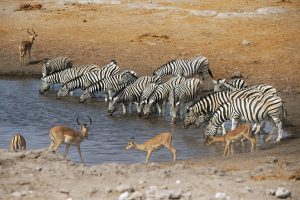
This morning we head east from Dolomite exploring many waterholes before leaving the restricted zone and entering the eastern Etosha area. We are now starting to approach the mighty Etosha Pan. Late afternoon we arrive at Okaukuejo Restcamp. Okaukuejo is located 17km’s from the southern entrance of the park, and famous for its flood-lit waterhole, where visitors can observe at close quarters a spectacle of wildlife congregating and interacting.
After check-in you return to exploring the local waterholes close to Okaukuejo to discover a host of animals that are far more relaxed with vehicles around, compared to those you have seen in the newly opened western area. This evening after dinner you will be able to spend time around the waterhole and await the night parade of animals.
Day 20: ETOSHA (B/L/D)
Today we will explore many of the waterholes of Etosha – each one is a magnet for the local wildlife and different species favour different locations. We will travel east into the central region of the eastern zone and stop in the middle of the day at Halali Restcamp.
After lunch we continue to the eastern end of the park where we will try and seek out cheetah. Tonight we stay at Onguma Bush Camp.
Day 21: ETOSHA – WINDHOEK (B/L/D)
This morning we rise early and head out to see if we can find cheetah. After breakfast we depart for Windhoek where our extension tour will conclude with a final dinner and night of accommodation.
Day 22: DEPARTURE (B)
Today it’s time to say farewell to Namibia and our fellow travellers. Transfers will be arranged as per flight schedules.
Additional information
| Details | Included The complete tour as per the itinerary, Ground private transport with driver/guide, Accommodation, Meals as specified (B/L/D), Arrival and Departure transfers, Experienced photographic leader/s and local guides where required, Entry fees and permits. Not included International Economy Airfares, Airport and Airline taxes & charges, Travel Insurance , Any expenses of a personal nature (such as laundry, phone calls, personal tipping etc.), Any meals other than those specified, Any drinks (alcoholic or non-alcoholic), Optional tours and activities, Excess baggage fee, Visa fees if required (Australian Passport holders do not require visas). |
|---|


